Prelude: A Nation About to See Beyond Sight
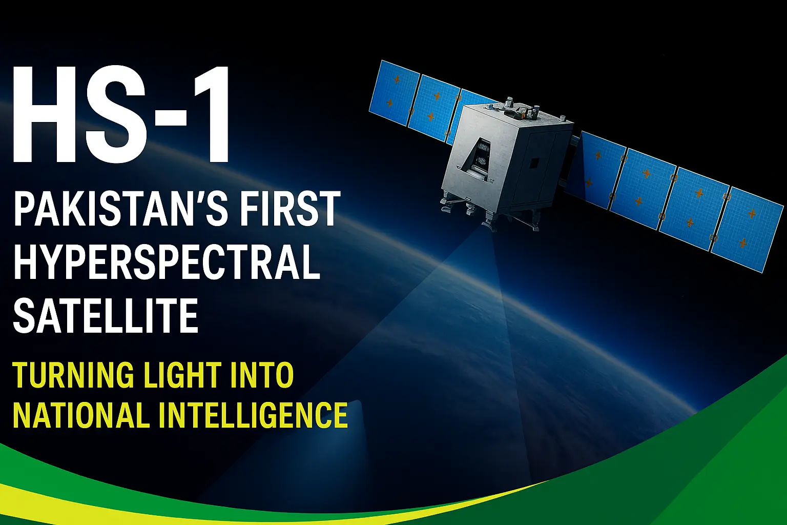
Pakistan is preparing to launch HS-1, its first hyperspectral satellite, a mission that could redefine how the country views its land, water, and atmosphere.
Unlike traditional imaging satellites, HS-1 doesn’t merely take pictures, it measures light across hundreds of narrow spectral bands, turning every pixel into a fingerprint of the Earth’s chemistry.
This is more than a scientific leap; it’s a strategic transformation. For the first time, Pakistan will possess the ability to observe, analyze, and optimize its own natural and economic systems from crops to minerals with precision rivaling world powers.
What Makes HS-1 Revolutionary
- Hyperspectral Vision: While earlier satellites like PRSS-1 captured 3–5 color bands, HS-1 will analyze hundreds of contiguous wavelengths across visible and infrared ranges.
- The Result: Pakistan can now differentiate between two visually identical regions, say, healthy vs. diseased crops, or sand vs. limestone by their spectral signatures.
“Where the human eye sees green, HS-1 sees the entire hidden chemistry of life.”
Strategic Applications: Six National Wins
- Agriculture & Food Security: Early detection of pest or water stress, yield forecasting, and precision fertilizer mapping.
- Disaster Response: Flood mapping, soil saturation modeling, post-flood recovery assessment.
- Urban Planning: Land-use enforcement, illegal encroachment detection, heat-island mapping.
- Water Management: Reservoir and canal monitoring, groundwater mapping, and turbidity tracking.
- Climate Monitoring: Glacier melt observation, deforestation trends, and dust-storm monitoring.
- Defense & Security: Border terrain mapping, coastal monitoring, and environmental intelligence.
🛰️ Unlocking Pakistan’s Hidden Wealth from Space
In a recent SUPARCO brief, the agency emphasized HS-1’s critical role in natural resource exploration, a domain that could directly fuel Pakistan’s economic revival.
HS-1’s Resource Intelligence Capabilities
- Mineral Deposits: Distinguishes ore types and alteration zones by their spectral “signatures.”
- Oil & Gas Prospects: Detects hydrocarbon absorption features in the infrared spectrum.
- Hidden Water Sources: Tracks soil moisture and vegetation stress to infer groundwater zones.
- National Resource Planning: Enables smarter exploitation and sustainability of Pakistan’s natural wealth.
“Every mineral, every drop of water, every patch of soil reflects light differently. HS-1 reads those reflections turning Pakistan’s terrain into a spectral map of opportunity.”
The satellite’s sensors operate roughly across 400–2400 nm, covering visible (VIS), near-infrared (NIR), and short-wave infrared (SWIR) bands — the range that reveals the unique reflectance patterns of vegetation, soil, and water.
This is the same principle illustrated by SUPARCO’s spectral chart, showing how each surface type carries its own optical identity.
Why Timing Matters
Pakistan’s HS-1 comes at a moment when data is the new oil and those who own spectral data of their land command immense policy power.
Countries like India (HySIS) and China (Gaofen-5) already exploit hyperspectral constellations for resource management and defense.
HS-1 now gives Pakistan its first foothold in this elite club but the true test will be how it uses that data.
Three Strategic Imperatives for SUPARCO
- Data Policy: Adopt an open-tiered model free low-res previews for academia, paid high-res access for industries.
- Processing Pipeline: Ensure low latency from capture to analysis; hyperspectral cubes are massive and require automated correction systems.
3.Capacity Building: Train provincial departments, universities, and startups in hyperspectral analytics without skilled users, the data remains dormant.
Regional Positioning
With HS-1, Pakistan can transition from a data importer to a regional supplier of Earth-observation intelligence, especially for:
- Agriculture advisories for Central Asian and Gulf states
- Cross-border flood monitoring for Afghanistan and Iran
- Regional environmental indices shared via SAARC and OIC forums
If coupled with strong cloud delivery and public-private partnerships, HS-1 can become South Asia’s geospatial backbone for environmental and resource management.
Conclusion: Seeing the Unseen Building the Future
The launch of HS-1 marks a defining chapter in Pakistan’s technological journey, a transition from observation to understanding.
By mastering hyperspectral imaging, Pakistan is not just sending another satellite into orbit; it is placing its national potential under a scientific lens.
When fully operational, HS-1 will allow the nation to see its own mineral, agricultural, and environmental with unprecedented clarity. It will empower decision-makers with facts grounded in light, not guesswork.
If SUPARCO ensures accessibility, collaboration, and continuity, HS-1 could become the cornerstone of Pakistan’s scientific independence in the decades ahead.
Launch will lift a satellite but what truly rises is national capability.
Timeline Summary
- Milestone
- Target Date
- Status
HS-1 Integration Complete
- Sept 2025
- ✅ Completed
- Launch Window
- 19 Oct 2025
- 🔜 Upcoming
In-Orbit Commissioning
- Oct–Dec 2025
- Pending
Public Data Release
- Early 2026
- Planned